
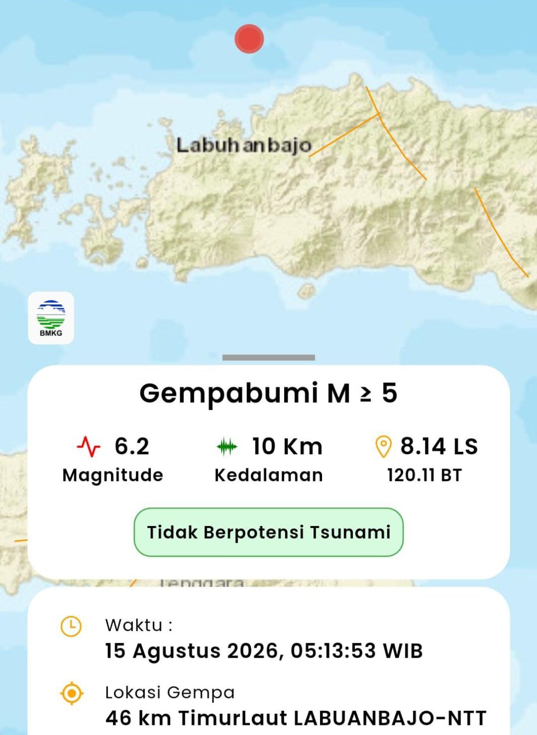
BALINEWSID.COM, DENPASAR — A magnitude 7.7 earthquake struck East Nusa Tenggara (NTT) early Saturday morning, August 15, 2026, with tremors reportedly felt in several parts of Bali.
According to the official report from Indonesia’s Meteorology, Climatology and Geophysical Agency (BMKG), the earthquake occurred at 4:58:23 a.m. Western Indonesia Time (WIB), with the epicenter located at 8.33 degrees South latitude and 121.32 degrees East longitude.
The epicenter was approximately 38 kilometers northeast of Mbay, Nagekeo Regency, East Nusa Tenggara, at a depth of 10 kilometers.
In Bali, tremors were reported in several areas. An impact update compiled by the Bali Regional Disaster Management Agency (BPBD), based on reports from regency and municipal BPBD offices, social media monitoring and public reports, was issued at 6:10 a.m. Central Indonesia Time (WITA).
The earthquake was felt in Denpasar, Badung, Klungkung and Bangli, although no damage was reported in those areas.
Meanwhile, residents in Gianyar, Tabanan, Karangasem, Jembrana and Buleleng reportedly did not feel the earthquake.
As of the latest update, there were no reports of casualties or property damage in Bali. Authorities said the situation remained safe and under control.
Authorities have urged residents to remain calm and avoid being influenced by unverified information circulating on social media.
Residents are also encouraged to rely on official information from the BMKG and BPBD and to immediately report any earthquake-related damage or potential hazards in their surroundings to their respective local BPBD offices.






Discussion (0)
No comments yet.