
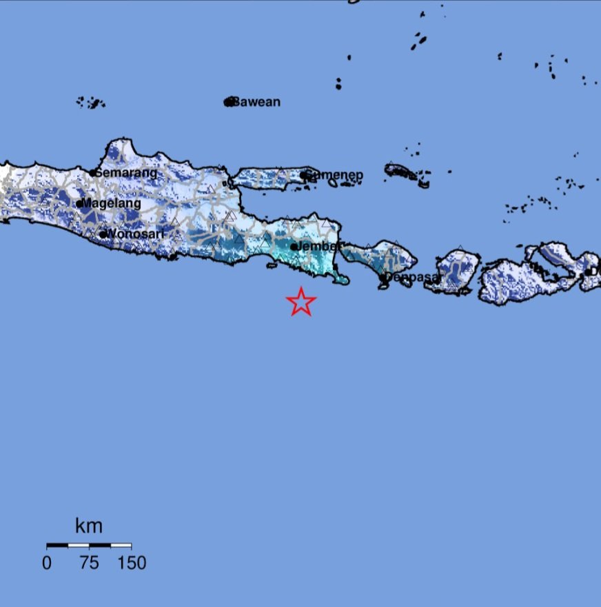
BALINEWSID.COM, JEMBER – A tectonic earthquake struck the southeastern region of Jember, East Java, on Tuesday (May 26, 2026) at 3:39 p.m. WIB. Indonesia’s Meteorology, Climatology, and Geophysics Agency (BMKG) confirmed that the quake did not have the potential to trigger a tsunami.
According to BMKG’s analysis, the earthquake was updated to a magnitude of 4.8 after initially being reported at magnitude 5.1. The epicenter was located at coordinates 9.07° South Latitude and 113.82° East Longitude, approximately 99 kilometers southeast of Jember Regency, East Java, at a depth of 14 kilometers.
BMKG Director for Earthquakes and Tsunami, Dr. Wijayanto, stated that the quake was classified as a shallow earthquake caused by rock deformation activity within the tectonic plate. The source mechanism analysis indicated a strike-slip fault movement.
The earthquake was felt across several regions. In Jember, the intensity reached IV on the Modified Mercalli Intensity (MMI) scale, while Banyuwangi recorded III-IV MMI. Tremors were also felt in Bondowoso, Kuta, South Kuta, and Malang with an intensity of III MMI.
Meanwhile, residents in Denpasar experienced tremors at II-III MMI intensity, while Blitar and Trenggalek recorded II MMI.
BMKG emphasized that modeling results showed the earthquake posed no tsunami threat. As of 3:55 p.m. WIB, monitoring data had not detected any aftershocks.
The public has been urged to remain calm and only rely on official information issued through BMKG’s verified communication channels.








Discussion (0)
No comments yet.