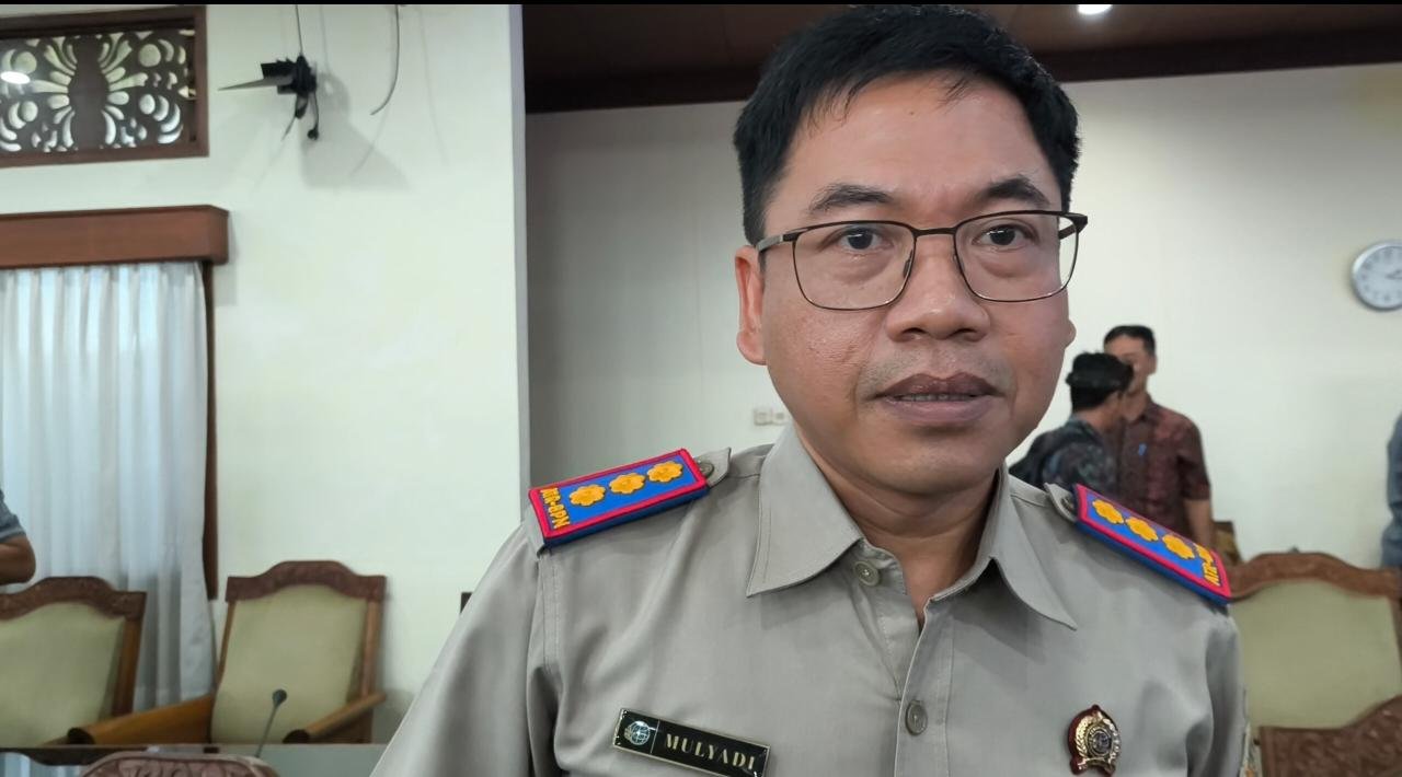
BALINEWSID.COM, DENPASAR — Head of the Denpasar Land Office, Mulyadi, revealed that the majority of Building Use Rights (HGB) certificates owned by PT Bali Turtle Island Development (BTID) originated from land reclamation and forest area release processes during a meeting with the Bali DPRD Special Committee on Spatial Planning, Regional Assets, and Licensing (Pansus TRAP) on Monday (May 11, 2026).
During the hearing, Mulyadi stated that PT BTID currently holds 103 HGB certificates covering a total area of approximately 496.1 hectares. The certificates were issued gradually from 1993 until 2025.
“The first certificates were issued in 1993, and the issuance process continued until 2025,” Mulyadi said.
According to the Denpasar Land Office’s analysis, there are seven typologies in the issuance process of PT BTID’s HGB certificates. Among them, reclamation accounted for the largest portion, covering around 317.9 hectares.
“Most of the HGB process came through reclamation,” he explained.
Aside from reclamation, the HGB certificates also originated from state land formerly categorized as customary land covering around 58.3 hectares, former HGB land of approximately 350 square meters, and former privately owned state land covering around 4.5 hectares.
Mulyadi further disclosed that three HGB certificates were linked to the release of forest areas. Two of them, HGB Numbers 90 and 96, cover a combined area of approximately 49.24 hectares.
He emphasized that the authority of the Ministry of Agrarian Affairs and Spatial Planning/National Land Agency (ATR/BPN) is limited to land administration and the granting of land rights. Matters related to development impacting mangrove forests and the environment fall under the authority of provincial and regency governments through spatial planning and licensing regulations.
“When development activities impact mangrove forest areas, the authority lies with the provincial and regency governments,” Mulyadi said.
He stressed that land utilization must comply with the Detailed Spatial Plan (RDTR), zoning regulations, and applicable Regional Spatial Planning (RTRW) policies.
Previously, the Bali High Prosecutor’s Office, together with several related institutions, conducted a joint survey in Karangasem and Jembrana regencies, the locations involved in PT BTID’s mangrove land swap scheme.
Field investigations conducted alongside media representatives revealed that the land used in the exchange involved community-owned pipil land located adjacent to forest areas managed by the Bali Forest Management Unit (KPH).
The findings have renewed public scrutiny over the legality and mechanism of PT BTID’s mangrove land swap arrangement, which has remained a major controversy in Bali.


Discussion (0)
No comments yet.